Showing 34850 results

Archival description
3585 results with digital objects Show results with digital objects
IE 2135 P91/4 · Item · 1900
Part of Valuation Records of the Estate of C. J. Coote

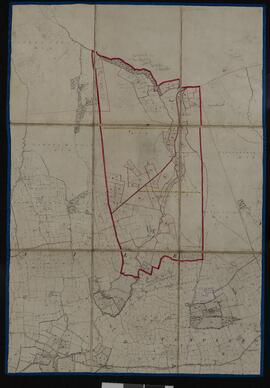
Composite of fragments of Sheets 8, 9, 17 and 18 of the black and white first edition six-inch Ordnance Survey maps for county Cork, on which the boundaries of the townlands of Ballintlea North and Ballintlea South are marked out in thick red lines. Within each townland, individual holdings are marked out in thin red lines and numbered, the numbers corresponding with the map reference numbers in the valuation book (P91/1). The map is supported by linen backing and bears the stamp of the General Valuation Office in Dublin with the date 20 July 1900.

Coote, Charles James (1837-1925), landowner