This sub-series contains material pertaining to Isabella née Colquhoun (1850-1927), second wife of the 3rd Earl of Limerick
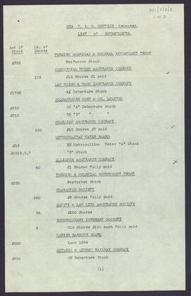
Sans titreList of investments of Frances Isabella Katharine Hettich, who died on 23 September 1905.
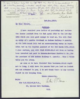
Sans titreLetter from Arthur R. Farrer, 66 Lincoln’s Inn Fields, London WC to Major Sir E[dmund] H[albert] Elliot, 40 Queens Gate Gardens, London SW [second husband to Isabella, Countess of Limerick] relating to the settlement of Frances Hettich’s estate.
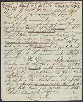
Sans titreLetter from Barrington & Son, 10 Ely Place, Dublin to John Vanderkiste, Limerick enclosing a schedule of charges on the trust estate paid out of the fund in the Landed Estates Court, and discussing the jointure due to the Dowager Countess of Limerick and annuities due to Lady Gray, Lady Repton, and Lady Georgiana Pery out of the trust estate.
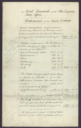
Sans titreStatement regarding the rental income of the [3rd] Earl of Limerick’s Irish estates and charges to which they are subject, and the securities of the Equity and Law Society mortgage.
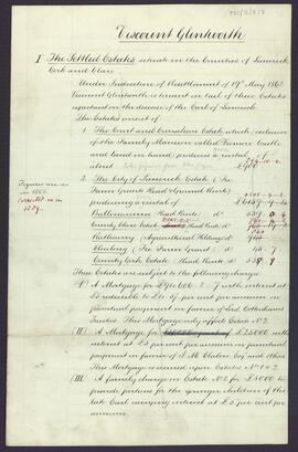
Sans titreViscount Glentworth’s statement of position concerning the family’s settled and devised estates and the charges to which they are subject.
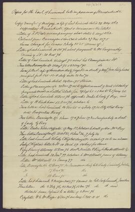
Sans titreList of documents for the [3rd] Earl of Limerick late in the possession of John Vanderkiste.
Sans titreDraft statement of position concerning the [3rd] Earl of Limerick’s settled and devised estates, together with a list of policies on his life and incumbencies affecting the estate.
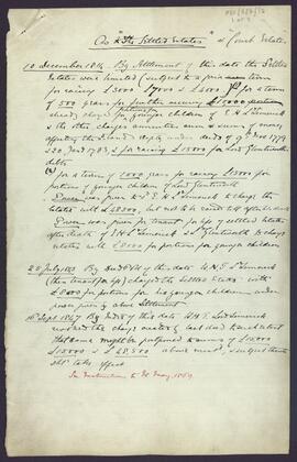
Sans titreNotes concerning the [3rd] Earl of Limerick’s settled estates and the charges to which they are subject.
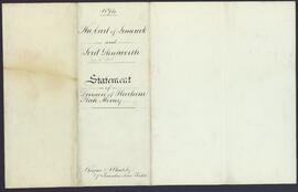
Sans titreStatement of division of heirloom plate money and the [3rd] Earl of Limerick’s and Viscount Glentworth’s share thereof.
Sans titre