Black and white negative of Alitalia, Pan American Airlines (PAA) and Swissair jets on the ramp at Shannon Airport, as seen from the viewing space. Negative missing.
Shannon DevelopmentBlack and white negative of Alitalia, Pan American Airlines (PAA) and Swissair jets on the ramp at Shannon Airport, as seen from the viewing space. Negative missing.
Shannon DevelopmentBlack and white negative of the New Zealand All Blacks at the Bunratty Banquet.
Shannon DevelopmentBlack and white negative spares of the New Zealand All Blacks at the Bunratty Banquet.
Shannon DevelopmentBlack and white negative of the New Zealand All Blacks at the Bunratty Banquet.
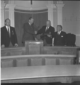
Shannon DevelopmentBlack and white negative of a few players from the New Zealand All Blacks Rugby team receiving a Limerick Plaque.
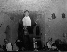
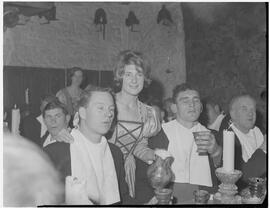
Shannon DevelopmentBlack and white negative of a few players from the New Zealand All Blacks Rugby team enjoying a medieval dinner at Bunratty Castle. Envelope notes the initials S.C.
Shannon DevelopmentBlack and white negative of a few players from the New Zealand All Blacks Rugby team enjoying a medieval dinner at Bunratty Castle. Envelope notes the initials S.C.
Shannon DevelopmentBlack and white negative of a few players from the New Zealand All Blacks Rugby team enjoying a medieval dinner at Bunratty Castle. Envelope notes the initials S.C.
Shannon DevelopmentAll Hallows Annual 1950-1951. Dublin: Browne and Nolan Limited, [n.d.].
Looney, Timothy (Tim) (1914-1990), local historian

