Showing 2 results

Archival description
IE 2135 P24/1 · Item · March 1763
Part of The County Kerry Townland Map Collection

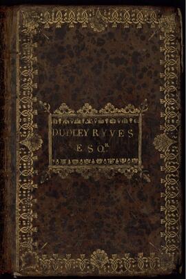
Small leather-bound volume of maps of Lixnaw, county Kerry and adjacent lands surveyed for Dudley Ryves by Charles Frizell Senior and Richard Frizell in March 1763. The book begins with an index of townlands, followed by coloured maps of each surveyed townland on a scale of 40 perches to an inch. Comments accompanying each map provide the names and sizes of individual fields within each townland, the overall quality and value of the land and recommendations for its use or for suitable improvements to increase quality or productivity. The pages have been numbered but the numbering runs sequentially on right-hand pages only and many of the numbered pages are blank.

Ryves, Dudley
IE 2135 P24/2 · Item · [1819?]
Part of The County Kerry Townland Map Collection

Small leather-bound volume of maps of the estate of the Earl of Listowel. The volume bears the address of Creagh & Byrne Solicitors of Listowel, county Kerry, and a note on the endpaper indicates that the maps were used as an exhibit in a court case involving the Irish Land Commission in 1905. The book commences with an index of townlands and five folding maps of multiple townlands. These are followed by individual townland maps, each on a single page. The maps show the boundaries and sizes of holdings on each townland and occasionally the name of the occupant or the nature of land, whether arable, pasture, bog or wood. The owners of surrounding townlands are also frequently identified. The maps are hand-coloured, and many of them contain coloured vignettes of thatched cottages, churches, ruins, trees or landscapes. The pages have been numbered throughout but many of the pages are blank.

Hare, William (1751-1837), 1st Earl of Listowel